Communal Trees

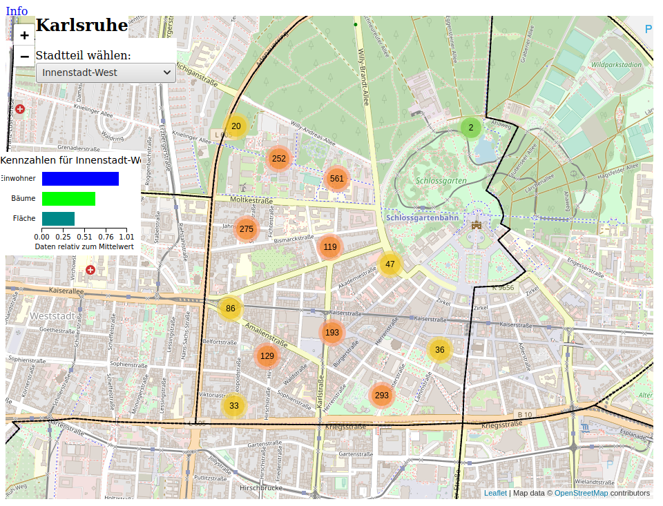
The tree register of the city of Karslruhe contains the geo-coordinates and type of all urban trees. The map shows the positions on a map, which also shows population and area for all districts. Further information can be displayed in a popup for each tree species.
To process the data, preprocessing is done with Python.